Mizoram: Land of the Hill People
Explore the stunning geography of India's northeastern state and why it shaped Mizo identity.
Mizoram, literally meaning "Land of the Mizo," is nestled in India's northeastern corner, bordered by Myanmar to the east and south and Bangladesh to the west. Its population was 1,091,014 in the 2011 Census, about 1.1 million people; that is a dated census count, not a current estimate.
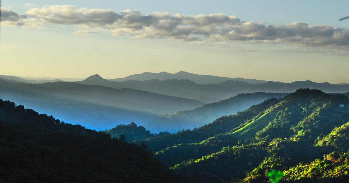
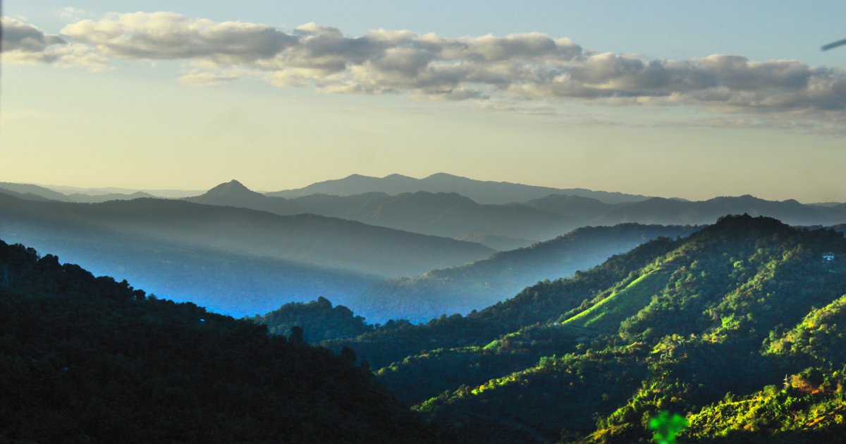
The landscape is defined by parallel north-south mountain ranges, with valleys cutting between them. The highest peak, Phawngpui (Blue Mountain), rises to approximately 2,210 meters according to Aizawl district's tourism information. The capital, Aizawl, perches dramatically on ridges, with houses seemingly stacked upon each other on steep hillsides.
This challenging geography historically kept the Mizos relatively isolated, helping preserve their distinct culture and language. Even today, reaching many villages requires hours of travel on winding mountain roads.
The lush green hills, covered in bamboo forests and tropical vegetation, create a landscape of extraordinary beauty. The region receives heavy monsoon rains, making it one of the greenest parts of India.